Départ

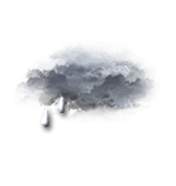

This afternoon in Étouy, Very cloudy skies to overcast. Light showers. Light winds.
We are 80% sure of the situation, because in this type of situation, it is difficult to define precisely when the precipitation will end.
Temperatures will vary between 17 and 22°C.
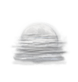
Tonight, clear spells then risk of fog towards the end of the night.
No precipitation. Light winds.