Départ


This afternoon in Dorfgastein, warning: winds gusting strongly.
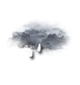
Overcast skies. Showers.
We are 80% sure of the situation, because the high pressure system could move in more quickly than forecast.
Temperatures will vary between 14 and 23°C.
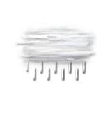
Tonight, overcast skies.
Light rain gradually becoming less frequent. Light winds.